The ghost lake beside the Federal Highway — sometimes a vast inland sea, sometimes a plain of grazing sheep, always strange from above.
FreeFamily
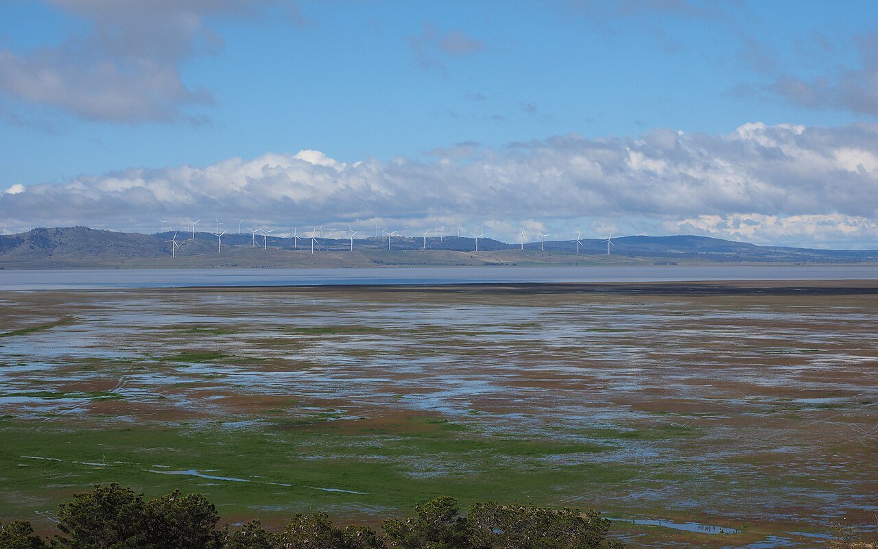
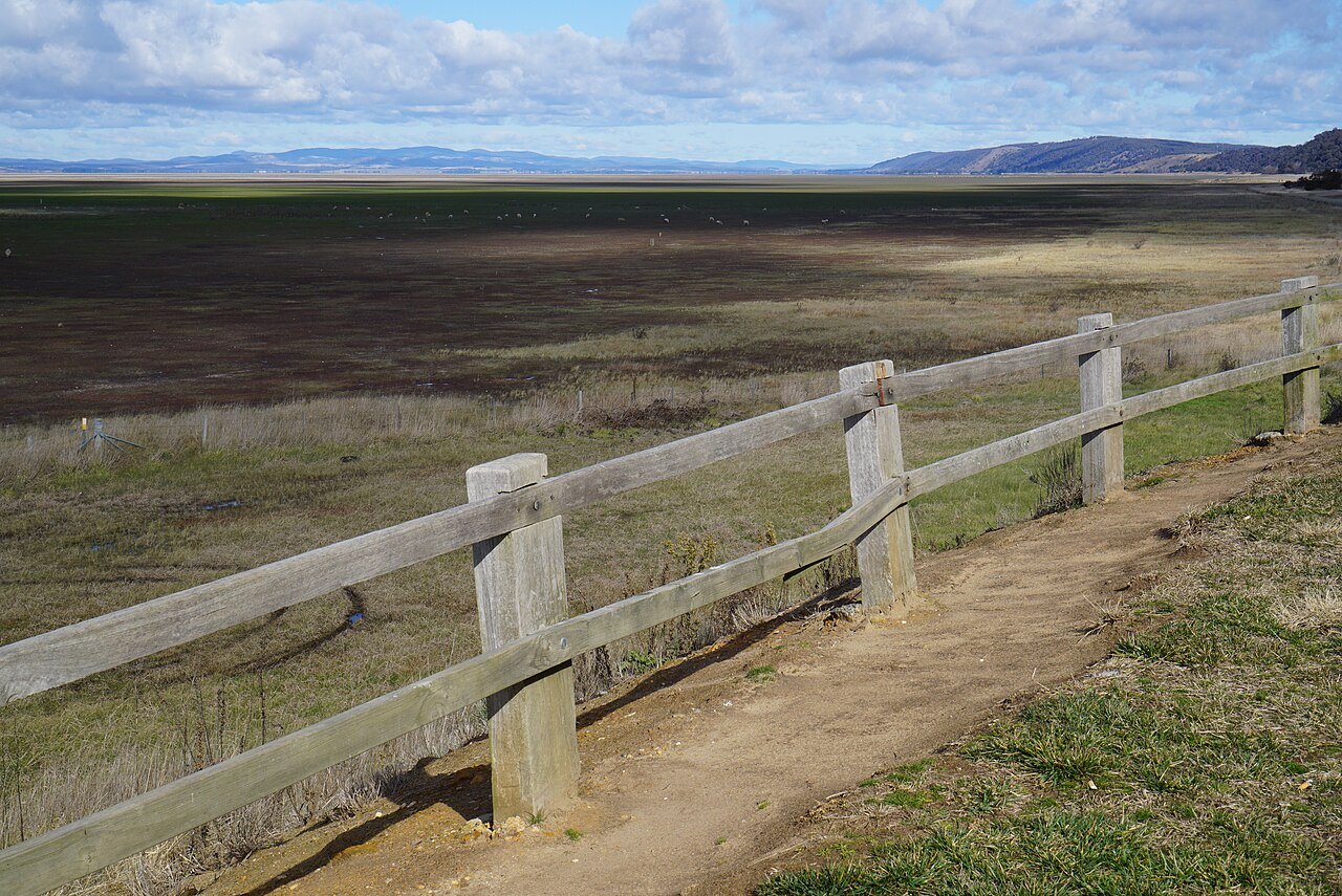
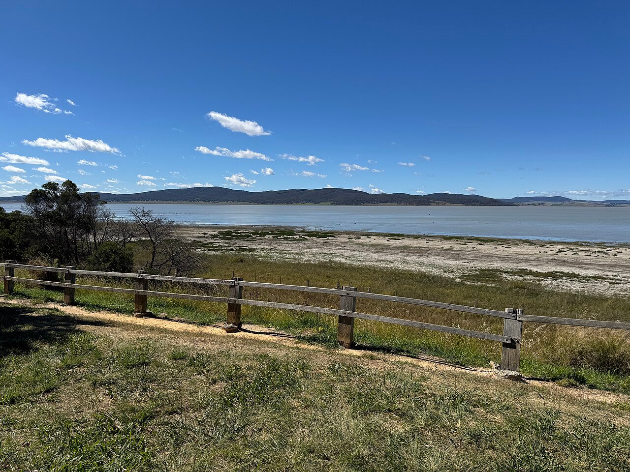
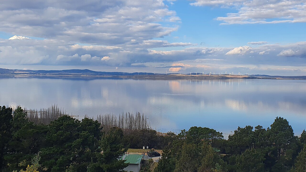
Lake George — Weereewa to the Ngunnawal people — is Australia’s great disappearing act: a 25-kilometre lake bed beside the Federal Highway that cycles between vast shallow sea and bone-dry grazing plain, with no river flowing out to explain where the water goes. From above, either state is mesmerising — flooded, it mirrors the sky to the horizon; dry, its patterned paddocks and wandering fence lines run like abstract art, with a wind farm’s white turbines marching along the far escarpment.
Flying Weereewa
Launch from the public lookout and rest areas off the Federal Highway on the western shore — never from the highway verge itself. Kangaroos graze the bed at dawn (the classic clip: roos bounding across a mirror of sky), and the Capital Wind Farm gives long tracking shots on the eastern side; keep the legal distance from turbine infrastructure. Standard CASA rules, and the lake bed itself is largely private grazing land — fly from public ground, photograph from above.
Stop and stretch
It’s 40 minutes from Canberra and a natural leg-stretch on the Hume-to-capital run — pair with the wineries at Collector or a Southern Tablelands road trip. More drone locations across NSW.
🏅 Own or manage this place? Get your “Featured on AustralianSecret” badge
Show visitors you're featured in our independent directory — copy this snippet into your website. The badge links back to your listing here.
Watch
Photo Gallery
Facilities
Highway rest areas and lookout parking on the western shore; services at Collector
Photography Tips
When flooded, fly the sky-mirror wide at dawn with roos crossing; when dry, top-down the paddock patterns and fence lines as abstracts.
Insider Tips
The lake bed is private grazing land — launch only from the public lookouts and rest areas, and keep clear of the wind farm's turbines.
Getting There
Lookout and rest areas signposted off the Federal Highway between Collector and Canberra, 40 minutes from the capital.
Frequently Asked Questions
Why does Lake George disappear?
It is a closed basin with no outflow river — water arrives by rain and leaves only by evaporation and seepage, so it cycles between full and empty over years.
Can you fly a drone at Lake George?
Yes from the public lookouts and rest areas under CASA rules — the lake bed itself is private grazing land, so launch from public ground.
Is there ever water in Lake George?
After runs of wet years, yes — it becomes a vast shallow sea. In dry cycles it reverts to grazed plain. Either state photographs well.
What is Weereewa?
The Ngunnawal name for the lake, in use for tens of thousands of years before it was renamed for King George.