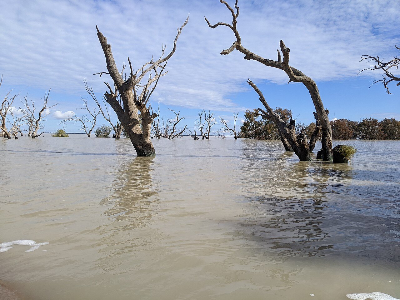
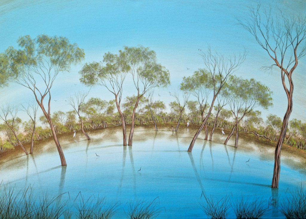
Drowned red gums standing in glassy outback water at sunset — when the lakes are full, nowhere in NSW shoots more otherworldly from above.
FreeFamily
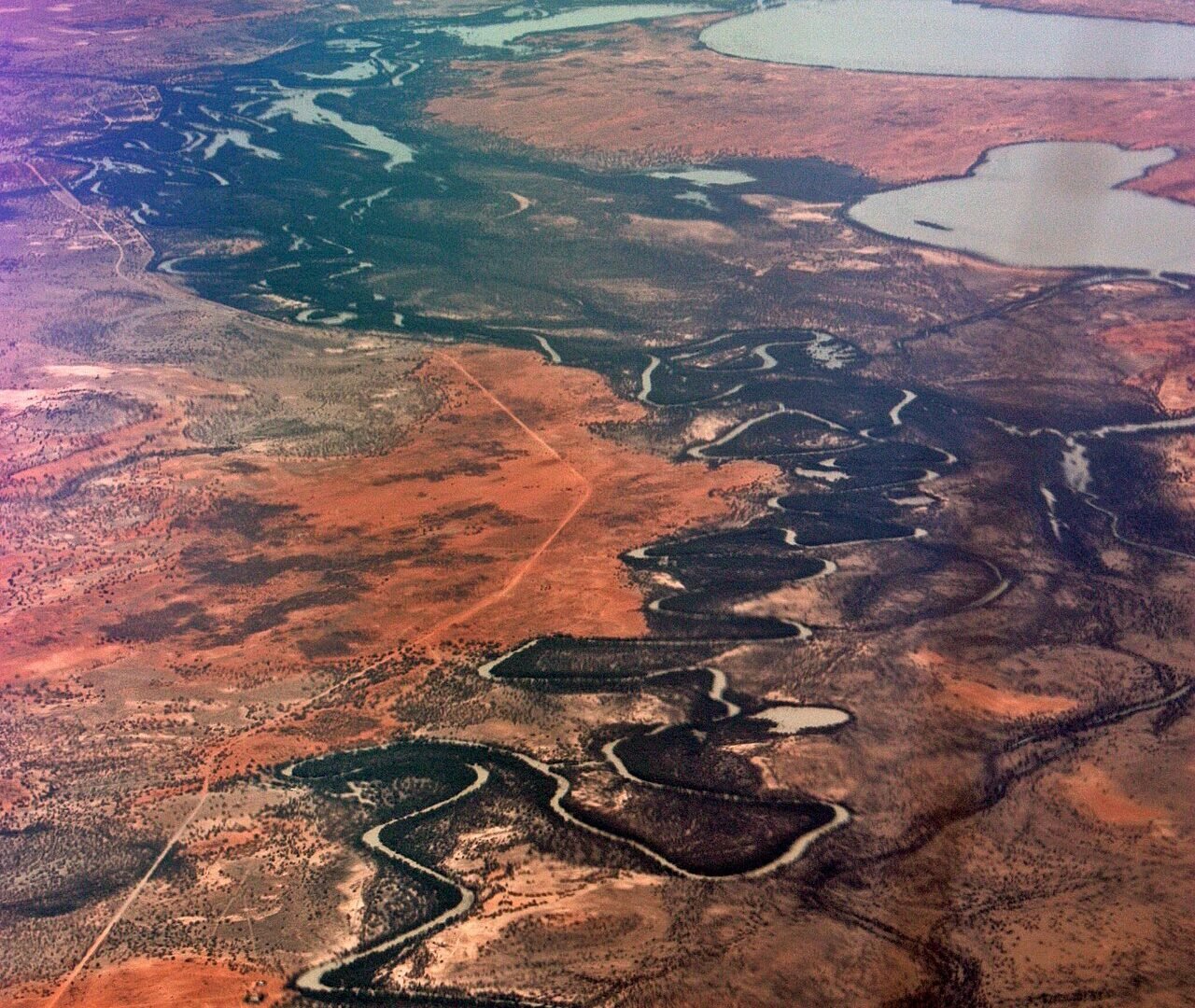
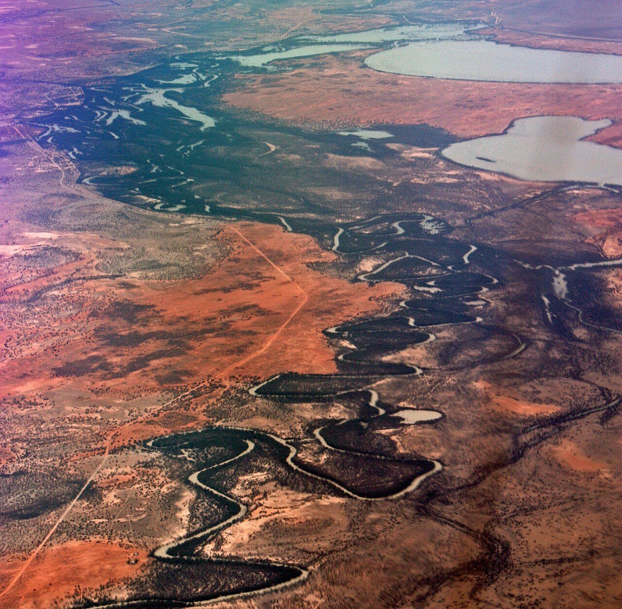
When water fills the Menindee Lakes, outback NSW produces its most surreal aerial scenery: thousands of drowned river red gums standing silver in mirror-flat water, red earth shorelines, and sunsets that set the whole system burning. An hour from Broken Hill on the Darling–Baaka, this is the drone trip photographers plan around water levels.
Flying the lakes
Lake Pamamaroo’s dead-tree forests are the headline — launch from the shoreline camps off the Menindee road and work low between the trunks at sunrise or sunset (mind your line of sight in the maze). Much of the system borders Kinchega National Park, where NPWS drone rules apply — fly from the crown-land and camping shorelines outside park boundaries, and check water levels before the long drive: WaterNSW’s storage reports tell you if the show is on.
The outback loop
Pair Menindee with Broken Hill’s Living Desert and Kinchega’s historic woolshed for the full far-west road trip. Big skies, zero air traffic, and the darkest star fields in the state after the drone lands. More drone locations across NSW.
🏅 Own or manage this place? Get your “Featured on AustralianSecret” badge
Show visitors you're featured in our independent directory — copy this snippet into your website. The badge links back to your listing here.
Watch
Photo Gallery
Facilities
Shoreline campgrounds, Menindee township services; full services in Broken Hill, 1 hour
Photography Tips
Fly low between the drowned gums at first light, sun behind the trunks — then rise for the mirror-water wide. Landings on red earth read beautifully.
Insider Tips
Check WaterNSW storage levels before the drive — dry lakes are a different (still striking) shoot. Kinchega NP sections need NPWS consent for drones.
Getting There
Menindee is 110 km south-east of Broken Hill on sealed road; the Pamamaroo camps are signposted off the Menindee–Broken Hill road.
Frequently Asked Questions
When do the Menindee Lakes have water?
After wet years in the Darling–Baaka catchment — check WaterNSW storage reports before travelling, as levels swing from full to nearly dry.
Can you fly a drone at Menindee?
Yes from the crown-land and camping shorelines under CASA rules; sections inside Kinchega National Park require NPWS consent.
What is the signature shot?
Low-level passes between Lake Pamamaroo's drowned red gums at sunset, rising to a mirror-water wide with red-earth shores.
How far is Menindee from Broken Hill?
About 110 km — an hour on sealed road, making it an easy add-on to a Broken Hill outback trip.