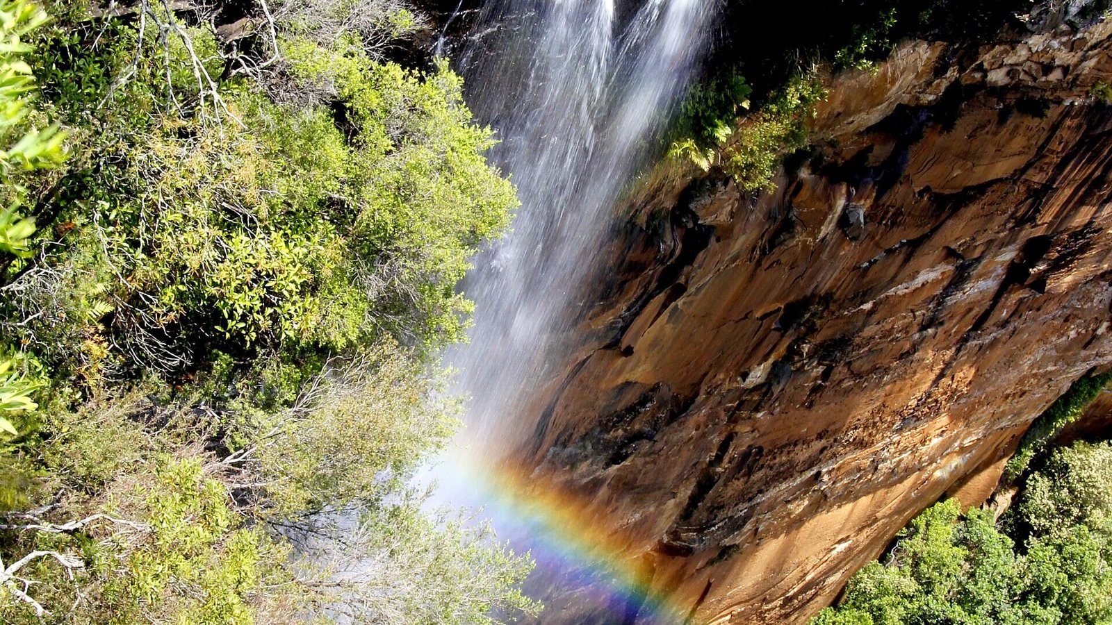
Quick answer: Build a Southern Highlands waterfall day around official lookout walks at Fitzroy Falls, Belmore Falls and Carrington Falls. Choose two stops for a slower visit; attempt all three only when driving time, daylight and current access allow. Check each park’s local alerts before leaving. This is a lookout itinerary, not a route to the bases of the waterfalls.
Waterfalls on a map can look close enough to collect in one easy loop. The real day includes winding access roads, parking, walking, lunch and time spent enjoying each view. Plan the falls as individual outings connected by a drive, then decide which one you can comfortably leave for another visit.
Start with the access check
Open the official pages for Fitzroy Falls lookout, Belmore Falls walking track and Carrington Falls walking track. Read local alerts, road notes and entry arrangements for the day you will travel. A general park description does not override a closure notice.
Use current navigation to compare the complete journey from your starting point. Save the maps before leaving reliable reception. After prolonged rain, reassess the outing rather than assuming that bigger waterfall flow means better access.
Fitzroy Falls: a useful first stop
Begin here if you want to orientate yourself around the visitor-centre area and the main lookout before deciding how much walking to add. Keep the first stop short if you are planning three falls, or give it more time and make the day a two-stop trip.
Check the official access description if someone in your group needs step-free paths, specific toilets or a shorter walk. Treat different lookout extensions as separate choices. Bring your own water and snacks so that the day does not depend on a particular food outlet being open.
Belmore Falls: allow for the road as well as the walk
NSW National Parks lists Belmore Falls walking track as 1.8km return, with a suggested 30 minutes to one hour and a Grade 3 classification. The approach from Robertson includes a narrow, winding dirt road. That matters when judging the day’s pace and whether the outing suits your vehicle and conditions.
The walk starts at Hindmarsh lookout carpark and visits escarpment viewpoints. The park authority states that access to the base of Belmore Falls is permanently closed. Stay on the marked route; do not follow unofficial directions to the pool below. Our Belmore Falls listing is a useful place to save the destination.
Carrington Falls: a short loop still needs care
The official Carrington Falls track is a 0.6km loop, with a suggested 30–45 minutes and Grade 3 classification. Its stairs and changing levels mean the short distance should not be mistaken for a completely flat stroll. NPWS advises visitors to stay on tracks and not attempt access to the waterfall base.
Have a snack at a permitted picnic area and give yourself time to return to the car without hurrying. If you have already done two walks, skip longer nearby extensions. The best final stop is one that still leaves you comfortable for the drive home.
A practical day structure
Morning: Drive to your first open lookout, walk and pause. Middle of the day: Take lunch and reassess the remaining route. Afternoon: Visit a second waterfall; add the third only with a generous daylight and energy margin. The order can change with your starting point and park conditions.
Wear shoes with grip and bring a rain layer, water and a charged phone. Use lookout barriers as boundaries even when someone else has stepped beyond them. If fog removes the view or a road is unsuitable, a town stop is a sensible replacement.
Turn it into a weekend
For a longer trip, connect this route with our Southern Highlands weekend guide and browse places to stay. A second day lets you spread out the walks rather than treating each waterfall as a roadside photograph.
Researched 17 October 2026 against NSW National Parks. Walking figures are the authority’s suggested track figures; they exclude your drive and other stops. Recheck alerts before travelling.