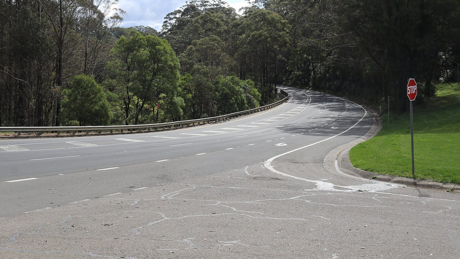
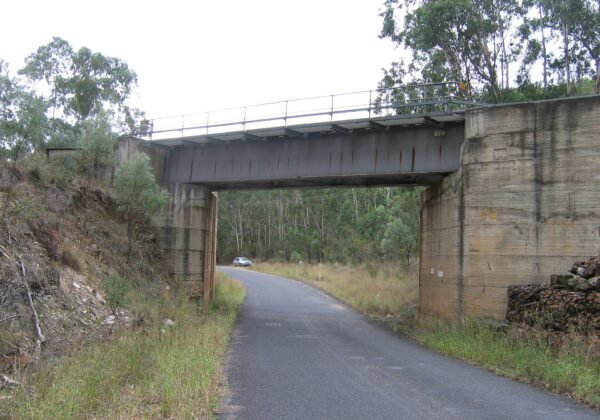
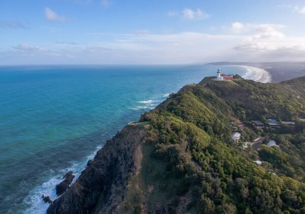
The connoisseur’s way over the Blue Mountains — orchards, apple-pie country, Mount Tomah’s gardens and empty ridge-top bends from Richmond to Lithgow.
FreeFamily
Everyone crosses the Blue Mountains on the Great Western Highway; the Bells Line of Road is how you should. Running the northern ridge from Richmond to Lithgow, it swaps traffic lights for orchards, cool-climate gardens and sandstone-walled wilderness — the connoisseur’s route over the mountains.
The route
Climb from the Hawkesbury flats through Kurrajong’s cafes and Bilpin’s apple sheds (stop for a pie — it’s compulsory), crest at the Blue Mountains Botanic Garden Mount Tomah, and run the ridge past Mount Wilson’s cool-climate gardens before dropping to Lithgow — with Hassans Walls Lookout ten minutes beyond.
Need to know
Weekday mornings are near-empty; autumn turns Mount Wilson gold.
Combine with the Darling Causeway to loop back via Blackheath’s lookouts — Govetts Leap and Pulpit Rock.
Fuel up at Richmond or Lithgow; there’s none on the ridge.
🏅 Own or manage this place? Get your “Featured on AustralianSecret” badge
Show visitors you're featured in our independent directory — copy this snippet into your website. The badge links back to your listing here.
Watch
Key Stops Along the Way
Kurrajong — Village cafes and valley views
Bilpin — Apple pies and cider sheds
Mount Tomah — Blue Mountains Botanic Garden
Mount Wilson — Cool-climate gardens and Cathedral of Ferns
Hassans Walls — Detour lookout above Lithgow
Frequently Asked Questions
Is Bells Line of Road better than the Great Western Highway?
For a scenic drive, yes — fewer towns and traffic lights, more orchards and wilderness. The highway is faster in poor weather.
Where should I stop on Bells Line of Road?
Bilpin for apple pie, Mount Tomah Botanic Garden for the ridge-top gardens, and Mount Wilson in autumn for the colour.
Is there fuel along the route?
Fill up at Richmond or Lithgow — there are no service stations along the ridge itself.
Can I make it a loop?
Yes — return via the Darling Causeway to Mount Victoria and the Great Western Highway, adding Blackheath's lookouts on the way.