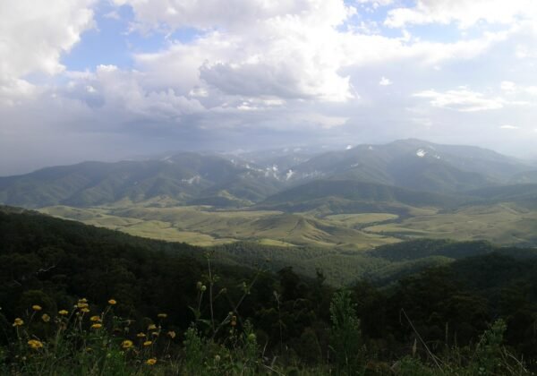
The east-coast classic done properly — 770km and three days of surf towns, river ferries and hinterland between Sydney and Byron Bay.
FreeFamily
The full east-coast classic: 770km of surf towns, river ferries and rainforest hinterland between Sydney and Byron Bay. The Pacific Motorway will do it in nine hours; the point is to take three days and never quite use the motorway at all.
The route
Break north via the Central Coast’s beaches to Seal Rocks and the Myall Lakes, then Port Macquarie’s koalas and the Oxley hinterland. Day two rolls through Nambucca, Bellingen and Coffs; day three saves the best — Yamba’s point breaks, the Bundjalung coast and the lighthouse finish at Killen Falls’ doorstep, Byron Bay.
Need to know
Detour credits: Seal Rocks (day 1), Bellingen and the Waterfall Way (day 2), Yamba (day 3).
School holidays double every queue — book beds early.
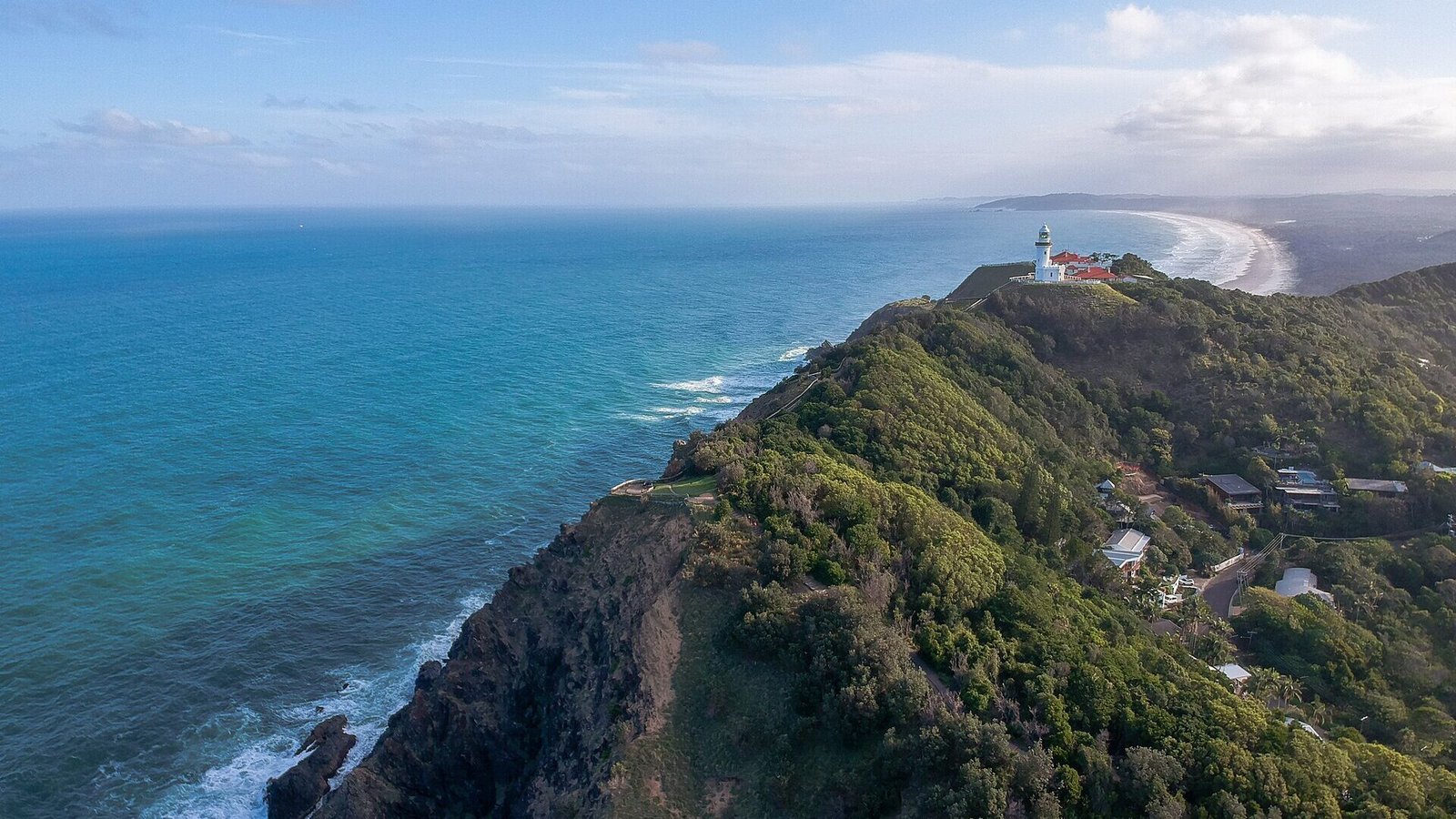
Cape Byron’s sunrise is the finish-line ritual: first light on the mainland’s easternmost point.
🏅 Own or manage this place? Get your “Featured on AustralianSecret” badge
Show visitors you're featured in our independent directory — copy this snippet into your website. The badge links back to your listing here.
Watch
Key Stops Along the Way
Seal Rocks — The coast's time-capsule hamlet
Myall Lakes — Paperbark lakes and ferries
Port Macquarie — Koala hospital stop
Bellingen — Hinterland lunch + Waterfall Way
Yamba — The better Byron, some say
Cape Byron — Sunrise at the easternmost point
Frequently Asked Questions
How long does Sydney to Byron Bay take?
About nine hours nonstop on the Pacific Motorway — but the coastal detours are the point, so allow three days.
What are the best stops?
Seal Rocks and the Myall Lakes on day one, Bellingen and the Waterfall Way on day two, Yamba and the Bundjalung coast on day three.
When should I do the drive?
Spring and autumn shoulder seasons — warm water, mild days and none of the school-holiday accommodation crush.
What's the finish-line ritual?
Sunrise at Cape Byron lighthouse — first light on mainland Australia's easternmost point, then breakfast in town.