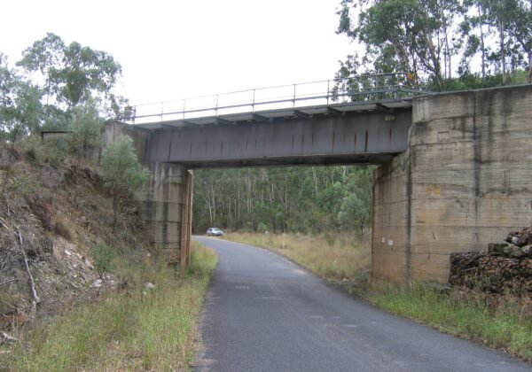
The winding Oxley Highway between Walcha and the coast, NSW

Oxley Highway (Walcha to the Coast)

300+ bends off the Great Dividing Range — the Oxley’s Walcha-to-coast run is a rider’s pilgrimage with gorge waterfalls thrown in.

Free

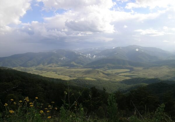
The eastern end of the Oxley Highway — Walcha down to Wauchope near Port Macquarie — packs more than 300 bends into its plunge off the Great Dividing Range. Riders make pilgrimages here; drivers who love a wheel understand within ten minutes.

The route

From Walcha’s high sheep country the road tips over the escarpment at Apsley Falls (two-tier gorge, five minutes off-route), then winds through Cottan-Bimbang’s forest — corner after cambered corner — before landing in the Hastings Valley at Long Flat’s pub and Wauchope’s timber town.

Need to know

  • Apsley Falls and Tia Falls detours are worth every minute.
  • The Long Flat pub is the traditional finish-line beer (or lunch).
  • Fog sits on the top sections early; mid-morning is the sweet spot.
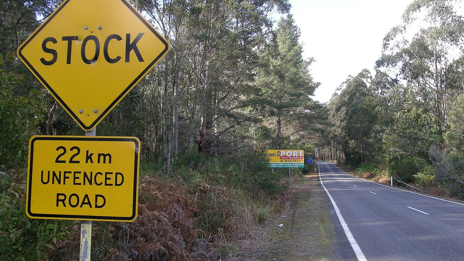
Combine with Thunderbolts Way for the great New England loop.

🏅 Own or manage this place? Get your “Featured on AustralianSecret” badge

Show visitors you're featured in our independent directory — copy this snippet into your website. The badge links back to your listing here.

Featured on AustralianSecret

Watch

Key Stops Along the Way

  1. Apsley Falls — Two-tier gorge falls near Walcha
  2. Cottan-Bimbang NP — The forest bends section
  3. Gingers Creek — Mid-route roadhouse
  4. Long Flat — The finish-line pub
  5. Wauchope — Timber town and Hastings Valley

Frequently Asked Questions

How many corners are on the Oxley Highway?

The Walcha–Wauchope section is famed for well over 300 bends as it descends the Great Dividing Range.

What's the best direction to ride it?

Most start high at Walcha and descend east — cambered downhill corners and the pub finish at Long Flat.

Where do you stop for fuel and food?

Walcha and Wauchope at the ends, with the Gingers Creek roadhouse mid-route and the Long Flat pub near the bottom.

Is Apsley Falls worth the detour?

Absolutely — a two-tier waterfall into a huge gorge, five minutes from Walcha with platforms and picnic areas.

Location & Map

Last updated

Share this

Nearby

More to Explore in New South Wales

View all

Bylong NSW Free

Bylong Valley Way

The scenic shortcut between Hunter wine country and Mudgee — sandstone gorges, horse studs and the silent Bylong…

FreeFamily

Coffs Harbour NSW Free

Sydney to Byron Bay Coastal Drive

The east-coast classic done properly — 770km and three days of surf towns, river ferries and hinterland between…

FreeFamily

Menindee NSW Free

The Darling River Run

730km of river gums, pub towns and Menindee sunsets — the Bourke-to-Wentworth run is outback NSW’s great pilgrimage.

Free

Nowendoc NSW Free

Thunderbolts Way

Bushranger country — from Gloucester’s dairy valleys over the highest sealed road country in NSW to Walcha and…

FreeFamily

Know a Place Worth Sharing?

Run a farm stay, cafe, winery or unique experience? Get in front of thousands of Australian travellers searching for exactly what you offer.