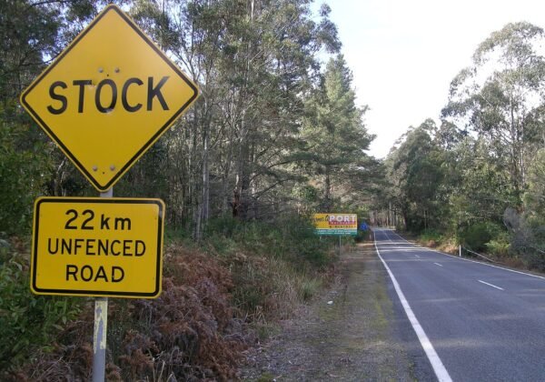
Kosciuszko’s quiet crossing — thermal pools at Yarrangobilly, gold-rush ruins at Kiandra and 1,400m plains between Tumut and Cooma.
FreeFamily
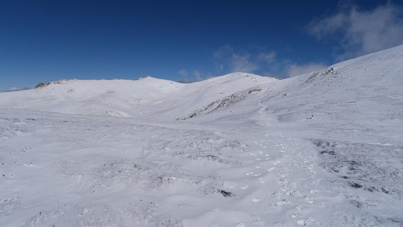
The Snowy Mountains Highway between Tumut and Cooma is the Alpine Way’s underrated sibling — a high crossing of Kosciuszko’s northern half that trades resort traffic for trout streams, caves and huge sub-alpine plains where the road runs dead straight at 1,400 metres with mountains on every side.
The route
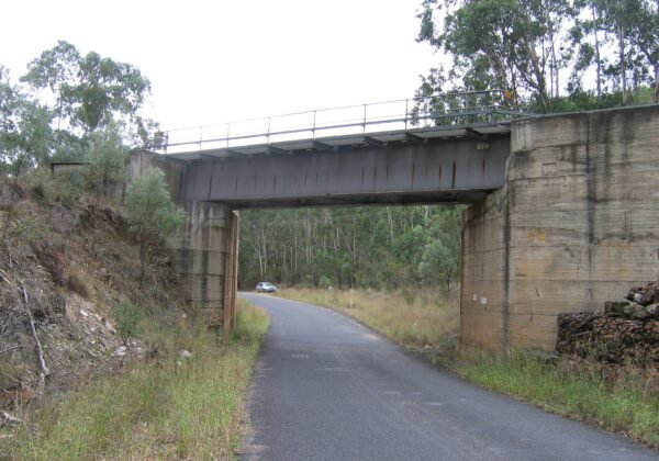
From Tumut the road climbs past Talbingo and Blowering’s water country into the park, passing the turn-offs to Yarrangobilly Caves (thermal pool included) and Kiandra’s gold-rush ruins, then crosses the Kiandra plains and Sawyers Hill before descending to Adaminaby’s big trout and on to Cooma.
Need to know
Yarrangobilly’s 27°C thermal pool is the best-kept swimming secret in the mountains.
Snow closes nothing here most days, but black ice is real — mornings need care in winter.
Fuel at Tumut, Talbingo or Adaminaby.
🏅 Own or manage this place? Get your “Featured on AustralianSecret” badge
Show visitors you're featured in our independent directory — copy this snippet into your website. The badge links back to your listing here.
Watch
Key Stops Along the Way
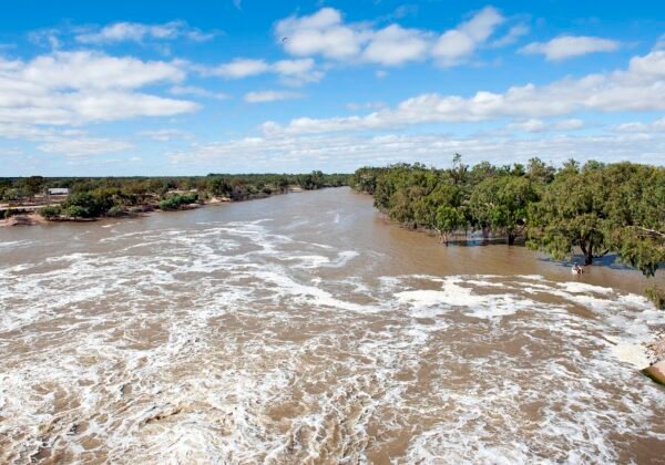
Blowering Reservoir — Water-ski country below Tumut
Yarrangobilly Caves — Show caves and 27°C thermal pool
Kiandra — Gold-rush and ski-history ruins
Sawyers Hill — Sub-alpine plains crossing
Adaminaby — The Big Trout and bakery stop
Frequently Asked Questions
Is the Snowy Mountains Highway open in winter?
Yes — it's a sealed all-weather crossing, though snow and black ice demand care and occasional short delays around Kiandra.
What is Yarrangobilly worth stopping for?
Spectacular show caves and a naturally heated 27°C thermal pool — arguably the best swim in the Snowy Mountains.
How does it compare to the Alpine Way?
Higher plains, fewer cars and no resort traffic — wilder scenery in exchange for fewer facilities.
Where can I fuel up?
Tumut, Talbingo and Adaminaby — don't cross the park on a quarter tank.